El Niño is likely to emerge late this spring or summer and is predicted to be historically strong, according to the National Oceanic and Atmospheric Administration.
There is an 82% chance the El Niño will hit sometime between May and July and continue through the Northern Hemisphere winter and into 2027, NOAA said. NOAA will announce its predictions for the Atlantic and Pacific hurricane seasons on Thursday.
El Niño is a natural climate pattern where surface sea water temperatures in the central and eastern tropical Pacific Ocean are warmer than average, triggering a shift in trade winds.
This means that the northern U.S. and Canada are drier and warmer and the Gulf Coast and Southeast experience wetter conditions, with a higher risk of flooding.
The change causes significant shifts in global weather patterns and typically lasts nine to 12 months.
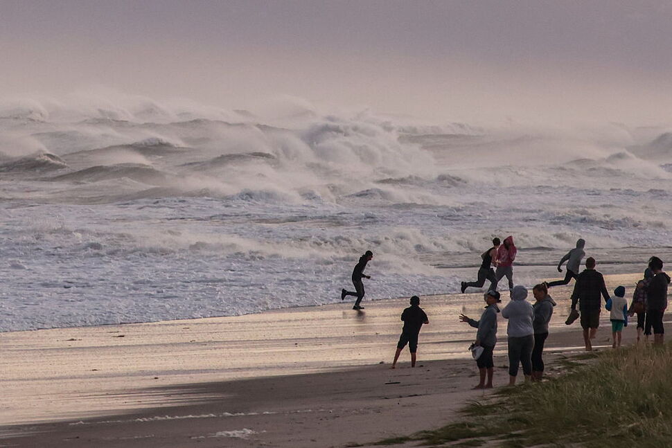
With hurricane season approaching in the coming weeks, the developing El Niño is likely to have extensive effects on rainfall, temperature and storm activity.
What Makes an El Niño “Super”?
A “super” El Niño is an extreme phase of the climate pattern. It occurs when ocean surface temperatures rise more than 2 degrees Celsius above average.
It is an expansive ocean warming that triggers extreme weather changes – droughts, floods, and spikes in global temperatures.
There is at least a 50-50 chance that the 2026 El Niño could be “super” according to The Weather Channel.
Various weather models suggest that during this El Niño, ocean temperatures could reach 2.5 degrees above average, making it one of the most powerful on record.
“The strongest El Niño events in the historical record are characterized by significant ocean-atmosphere coupling through the summer, and it remains to be seen whether this occurs in 2026. Stronger El Niño events do not ensure strong impacts; they can only make certain impacts more likely,” NOAA said.
Stronger El Niños are rare. Since 1950 there have been five “super” El Niño events. The most recent lasted from 2015-2016, according to the weather channel.
What Does El Niño Mean for Hurricane Season?
Hurricane season is just a few weeks away. The Eastern Pacific hurricane season begins May 15 and the Atlantic season on June 1. The impending El Niño and storm season create uncertainty leading into the summer.
While El Niño aggravates weather patterns globally, it can actually decrease the number of hurricanes in the Atlantic Ocean.
The warmer air and stronger winds that El Niño brings to the Atlantic, are adverse to hurricanes. It is the opposite in the Pacific ocean.
“Simply put, El Niño favors stronger hurricane activity in the central and eastern Pacific basins, and suppresses it in the Atlantic basin,” NOAA said.
The intensity of the hurricanes will depend on how quickly El Niño develops and how strong it becomes. Right now it is hard to tell.